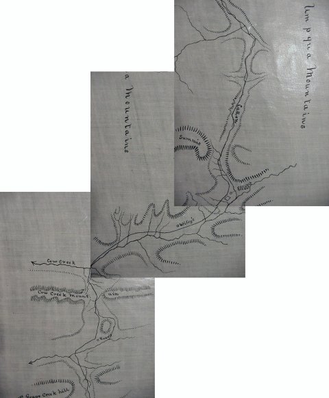
Capt Thomas Jefferson Cram Map
These maps are part of a map book which was prepared by Captain Thomas Jefferson Cram, U.S. Corps, Topographical Engineer. The map book was part of Captain Cram's presentation to the 35th Congress, 2nd Session of the United States which met in 1858-1859. The Congress was Democratically controlled in both the House and the Senate and the President was James Buchanan also a Democrat. Interestingly Buchanan ran against John C. Fremont who was the Republican nominee and who was responsible for some of the maps which appear elsewhere here. Notice the place called Reavis near Wolf Creek. On later maps located here the name has changed to Six-Bit House reportedly because one could spend the night for 75 cents rather than a dollar which was charged most other places. Also note the name of Elliff's and Wiley's. Elliff's was a road house that eventually was the stage stop which the California and Oregon Stage Line ran between Sacramento, CA and Eugene City, OR. To learning more about the stage line read Knights of the Whip by Gary and Gloria Meier.